Winds - 15 min Average
8.24
MPH
N
S
E
W
Wind Speed
8.24 mph
Peak Wind Gust
11.84 mph
Wind Direction
330.30°az
Current:
15m ago:
30m ago:
45m ago:
Temps - 15 min Average
63.22°F
-20
-10
0
10
20
30
40
50
60
70
80
90
100
110
120
4 in. Soil Temp
68.92°F
8 in. Soil Temp
68.47°F
Humidity - 15 min Average
48.79%
0
10
20
30
40
50
60
70
80
90
100
24hr Precipitation
0.0099999999999998 in.
Accum. Precipitation
7.12 in.
Courtesy of US Bureau of Reclamation AgriMet Network
Updates at :10, :25, :40, :55 approx.
Aircraft Soundings: 2023-09-28 - 06:50
Surface Temperature
40°F
-20
-10
0
10
20
30
40
50
60
70
80
90
100
110
120
Soundings
All Elevations MSL
Madras Airport 2450ft MSL
8000ft
33°F
7500ft
35°F
7000ft
35°F
6500ft
37°F
6000ft
38°F
5500ft
41°F
5000ft
44°F
4500ft
45°F
4000ft
46°F
3500ft
49°F
3000ft
47°F
2500ft
45°F
Winds
4000ft:
6000ft: 3@S
8000ft: 9@W
Visibility
North @ 4000ft:
15+ clear
North @ 8000ft:
20+ clear
South @ 4000ft:
20+ clear
South @ 8000ft:
20+ clear
Pilot Report
Surface calm
Notes
Cloud base 7000’ cloud tops 7500’
PiBal Soundings: 2023-09-18 - 13:00
Hodograph
N
S
E
W
6650 ft
3325 ft
10mph
Wind Profile
709 ft
4 mph
1358 ft
4 mph
2008 ft
3 mph
2628 ft
7 mph
3248 ft
8 mph
3839 ft
10 mph
4429 ft
13 mph
5020 ft
14 mph
5610 ft
7 mph
6201 ft
10 mph
PiBal Sounding Data
Elevation
Azimuth
Layer
Direction
Speed
65°az
107°az
709 ft
287°az
4 mph
63°az
112°az
1358 ft
297°az
4 mph
66°az
100°az
2008 ft
246°az
3 mph
61°az
94°az
2628 ft
265°az
7 mph
57°az
89°az
3248 ft
258°az
8 mph
52°az
89°az
3839 ft
269°az
10 mph
47°az
90°az
4429 ft
273°az
13 mph
43°az
90°az
5020 ft
270°az
14 mph
44°az
86°az
5610 ft
225°az
7 mph
43°az
84°az
6201 ft
250°az
10 mph
Sunrise 5:46am
14:49 Daylight
Sunset 8:35pm
12
•
1
•
2
•
3
•
4
•
5
•
6
•
7
•
8
•
9
•
10
•
11
•
12
•
1
•
2
•
3
•
4
•
5
•
6
•
7
•
8
•
9
•
10
•
11
•
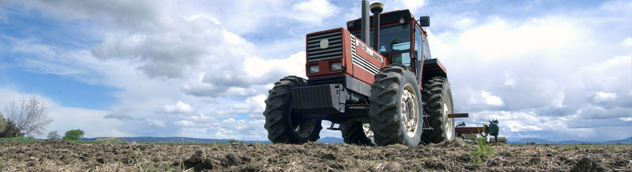
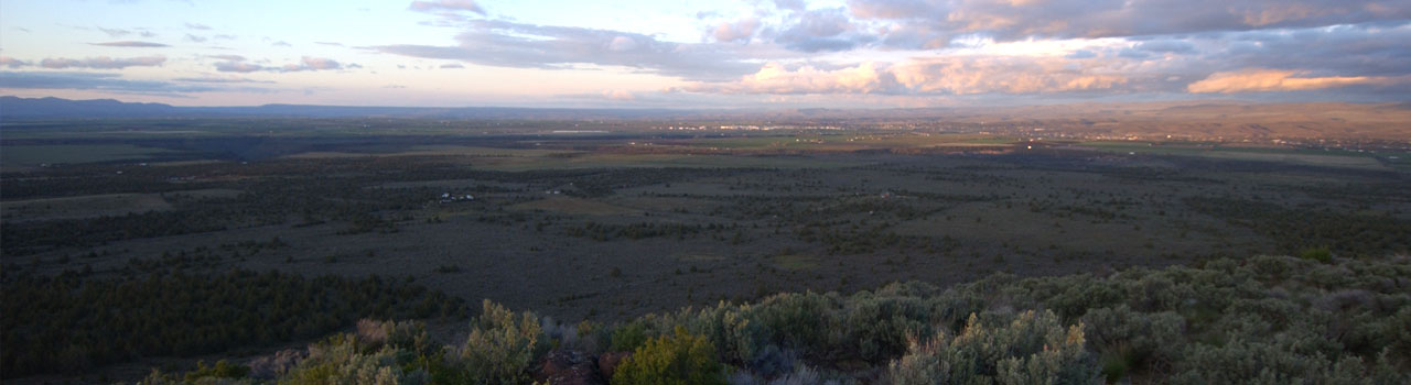
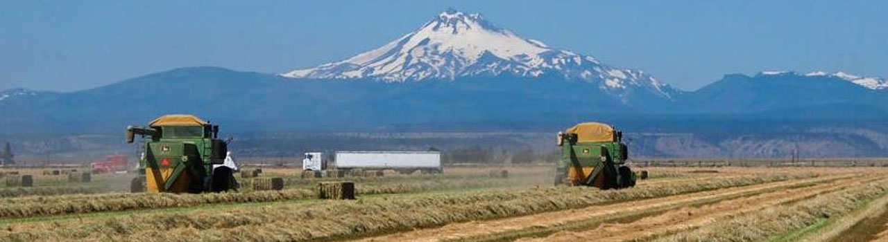
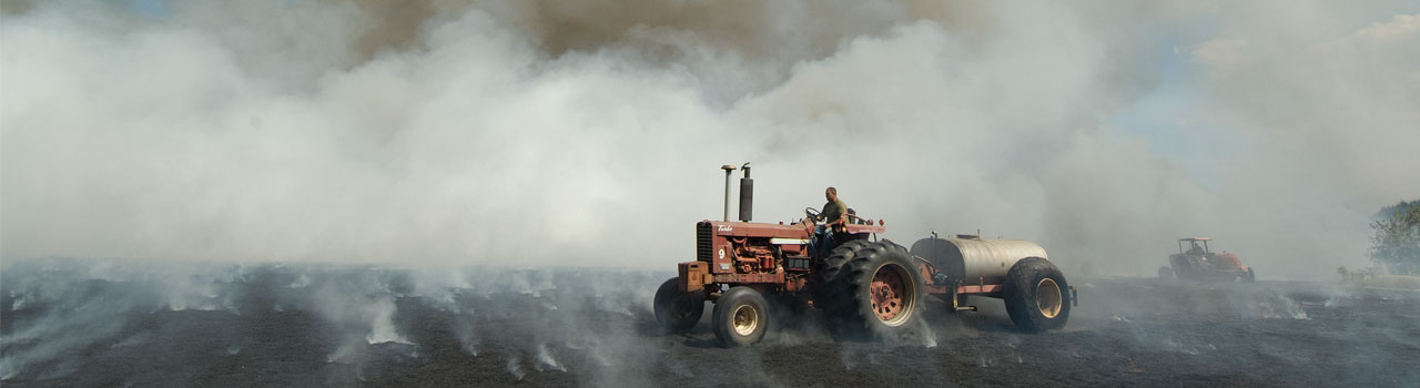
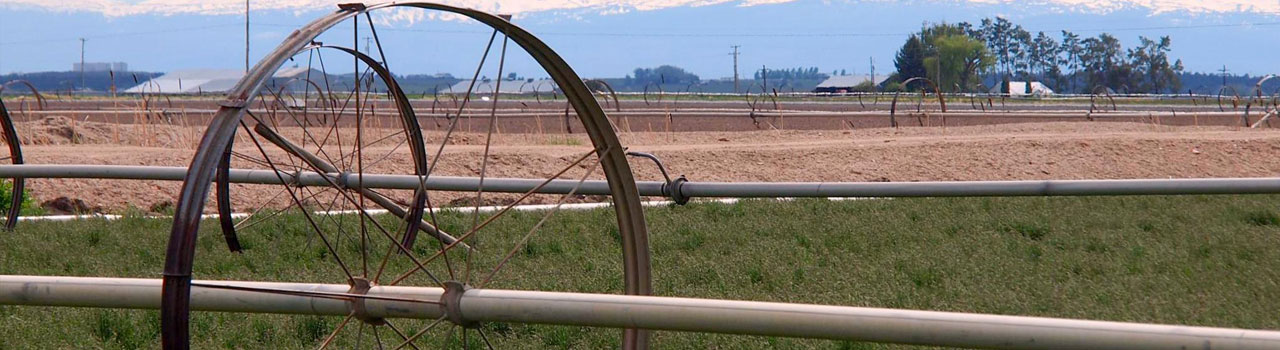
The Jefferson County Smoke Management Program is a cooperative effort of the Jefferson County Seed Growers Association and the Jefferson County Fire Protection District #1 to create a safe, controlled agricultural field burning season that ensures public safety and minimizes, to the greatest degree possible, impacts of smoke on the communities of Central Oregon.